The profession is investing in itself.
Be a part of the future of surveying.
Looking for tickets?
Tickets are currently sold out. Be on the lookout to view a recording of the Surveyor Summit!

Watch the Promotional Video
Apply to Speak!
Applications close August 31.
What to Expect
-
How long does the Summit run?
The indoor program runs 12:00 PM to 4:30 PM — five talks, two breaks, and the past-president roundtable, all packed into a half day. Cornhole picks up right after on the West Lawn and runs until 7:00 PM for anyone sticking around.Why keep it to a half day instead of a full conference?
That's the point of the format. Five focused talks, no panels of strangers, no vendor hall. We’re focused on surveyors sharing stories with other surveyors. -
How many talks are on the program, and how long is each one?
Four land surveyors take the stage for TED-style talks, each capped at 25 minutes. The format keeps things tight and story-driven. We also have two panels of speakers set up to talk about important challenges that the surveying community is facing.
Why 25 minutes?
The TED-style format is built around focus. Each speaker gets one story and 25 minutes to tell it well, rather than a broad overview stretched thin. It keeps the afternoon moving and respects everyone's time — yours and the speakers'. -
Who's on the Past-President Roundtable, and how does it work?
Four past presidents of CLSA San Diego return to the stage for a 30-minute moderated roundtable — no prepared talks, just open conversation about what's changed in the profession, what hasn't, and the lessons that stuck. The session closes with live audience Q&A, so bring your questions. It's the homecoming piece of the day: the people who've led the chapter, back in the room with the people carrying it forward.How do I submit a question for the roundtable?
You can submit a question when you register, and again during a second window two weeks out from the event. The moderator pulls from that pool to keep the conversation focused and avoid repeats. -
Are food and drinks included?
Every Summit ticket includes drink tickets, redeemable once the bar opens at the second break, right before the roundtable. Snacks and soda are provided at both breaks, and heavy appetizers are served after the roundtable wraps — so no one's running on an empty stomach through the closing raffle. -
This Summit is made for surveyors no matter where they are in their career journey. We’re here to listen to the stories of our peers & prepare the next generation. All are welcome!
-
Sign up for the Cornhole Championship when you check in with our registration table.
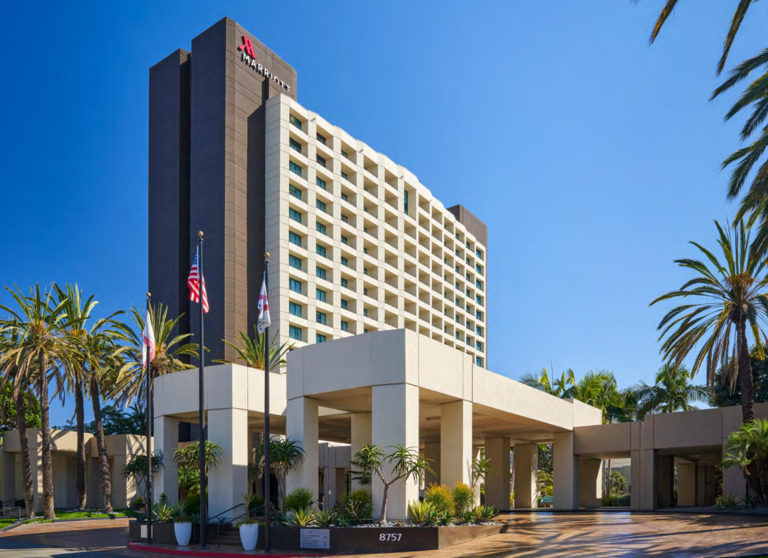
Join us at the San Diego Mission Valley Marriott!
8757 Rio San Diego Dr, San Diego, CA 92108
Event Schedule
-
Check-in and meet up with your industry peers! Also sign up with your pair for our Cornhole Championship!
-
Opening — welcome, rules, housekeeping, sponsors recognized & updates about the chapter.
-
Follow in the findings of this presenter’s findings with East Bay Municipal Utility District’s survey of Mokelumne Aqueduct Right of Way at March Lane in Stockton. This boundary presentation covering 2 point tangos, holding deed dimensions over long-established boundaries on the ground, virtual pin-cushioning, and end up with the attached example from a presentation on the good, the bad, and the ugly of property surveys at EBMUD.
Featuring: Steven Martin, PLS
-
Mackinac Island, Michigan has banned motorized vehicles since 1898 — everything moves by foot, bike, or horse-drawn carriage, including survey equipment. Listen to our speaker’s experiences surveying the island with dad and brothers. This session shares what it's like to practice land surveying on one of the only places in the country still cut off from cars, and how that constraint shaped his approach to the work.
Featuring: Drew Schwandt -
Presentation from Drew Schwandt with Westpac Wealth Partners.
-
The land surveying profession is facing a workforce gap as experienced surveyors retire faster than new licensees enter the field. This session brings together four perspectives on solving it — from the classroom to the field — covering what's working (and what isn't) in recruiting, training, and retaining the next generation of surveyors.
Featuring: Geoffery Cox, PLS (Caltrans); Chris Shoup, PLS (PSOMAS); Tim Ralls, LSIT (Southern California Surveyors Joint Apprenticeship Committee); Annie Aguilar, RCE (San Dieguito Engineering)
-
Break — snacks and soda, 10 min
-
Boundary disputes are one of the most complex and consequential challenges in land surveying — where historical evidence, legal precedent, and technical measurement all have to align to resolve a line that two parties disagree on. This session walks through a real boundary case, examining how conflicting evidence gets weighed, how courts and surveyors interact, and what it takes to reach a defensible determination.
Featuring: Justin Pallamary, PLS
-
Map processing requirements and review procedures shift regularly at both the City and County of San Diego — and staying current directly affects how smoothly your submittals move through the system. This roundtable brings together representatives from the City of San Diego and County of San Diego to walk through recent updates to their map processing workflows, clarify each agency's specific responsibilities in both the Right of Way and Mapping Departments, and open the floor for direct questions from practicing surveyors. A chance to connect with the people reviewing your work and understand the process from their side of the desk.
Featuring: Garrett Smith, PLS (City of San Diego ROW); Greg Jeffries, PLS (City of San Diego DSD); Bryan Bradway, PLS (County of San Diego); Michael Hank (Caltrans D11)
-
Take a brief journey through the history of the Ranchos of San Jose Valley in North San Diego County and explore the surveying challenges presented by its historic land grants. This presentation will highlight the history of Mataguay Ranch and provide an overview of a recent resurvey of a portion of the Ranch, including the research, evidence, and surveying considerations involved in retracing these historic boundaries.
Featuring: Armand Marois, PLS -
Break + bar opens — drink tickets activated
-
Hear from former leaders of the San Diego Chapter as they reflect on their time in office, the challenges they faced, and the changes they’ve witnessed throughout the surveying profession. This candid roundtable will explore the evolution of the Chapter, lessons learned from leadership, and ideas for its future—while offering insight and encouragement to the next generation of chapter leaders.
Featuring: Rick Coffman, PLS; Armand Marois, PLS; & TBA. -
Hang out with your fellow attendees for drinks, a heavy hors d’oeuvres buffet, and playing cornhole!
-
Event End
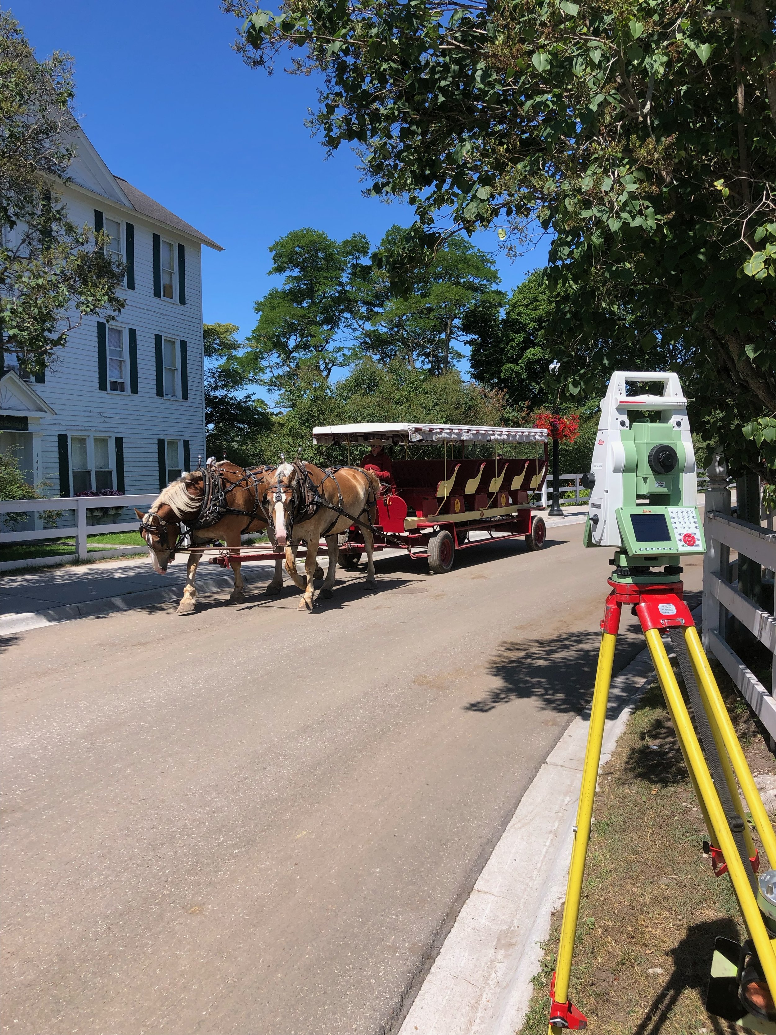
Surveying Mackinac Island, Michigan
Courtesy of Drew Schwandt
Sponsorship Opportunities
Interested in sponsoring? Learn about our options.
Bronze Package - Cornhole Sponsor: $400
Includes 4 tickets to the San Diego Surveyor Summit & your logo on the event program & logo decal on the cornhole boards.
Silver Package - Break Sponsor: $500
Includes 4 tickets to the San Diego Surveyor Summit & your logo on the event program & at the break station. Option to speak during one of the breaks.
Gold Package - SDSS Sponsor: $500
Includes 4 tickets to the San Diego Surveyor Summit & your logo on the event program & behind the stage. Option to speak during one of the breaks.
Meet the Speakers & Panelists
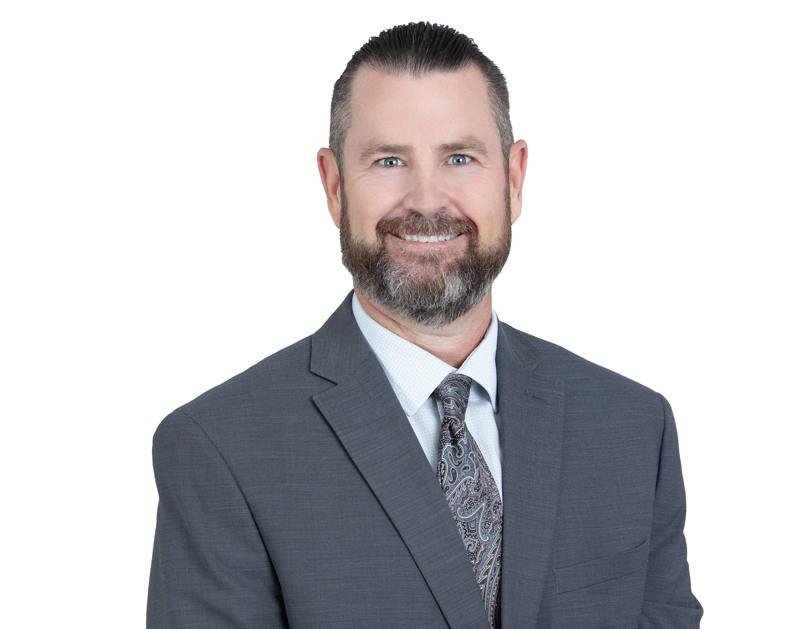
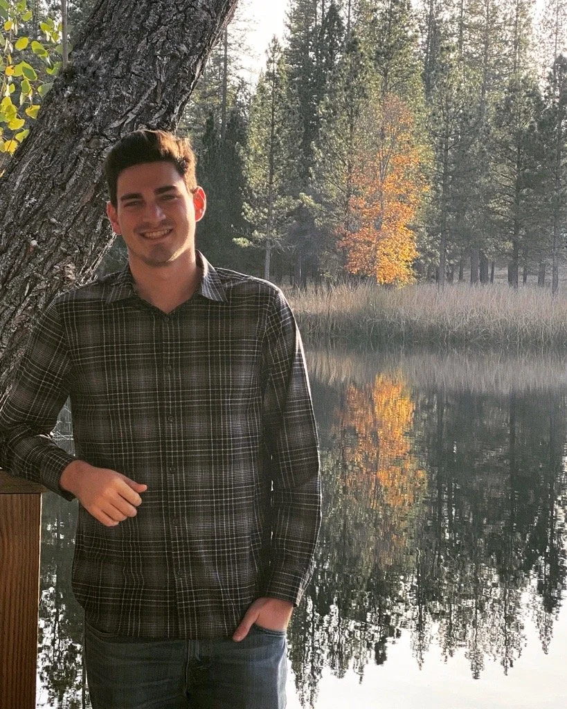
Justin Pallamary, PLS
Justin S. Pallamary, PLS (California License No. 8392) brings more than 35 years of surveying and engineering experience, with over 90% of his career dedicated to projects throughout Southern California. His extensive expertise spans both public and private sector developments, where he has successfully collaborated with a broad range of stakeholders and industry professionals.
Justin has been actively involved in numerous professional organizations and community outreach initiatives, including the American Public Works Association (APWA), American Society of Civil Engineers (ASCE), American Council of Engineering Companies (ACEC), California Land Surveyors Association (CLSA), I Love A Clean San Diego, Father Joe’s Villages, Latino Community Development programs, and Diversity and Inclusion initiatives.
Throughout his career, Justin has worked closely with senior management teams, engineers, subsurface utility engineering professionals, grading contractors, architects, title companies, attorneys, private property owners, community planning groups, and a variety of public agencies. His experience includes collaboration with Caltrans, the City and County of San Diego, the Port of San Diego, multiple water agencies, SDG&E, PG&E, Southern California Gas Company, AECOM, the Inland Empire region, Airport Authorities, Orange County, Los Angeles County, and numerous private-sector clients and landowners.
A passionate advocate for the surveying profession, Justin dedicates significant time to mentoring emerging professionals and educating students about career opportunities in surveying. He regularly visits middle schools, high schools, and colleges to promote awareness of the profession and inspire the next generation of industry leaders.
Justin is also a sought-after speaker and educator, frequently presenting at industry conferences and technical seminars. His speaking engagements include the Fresno State Annual Geomatics Conference, Cal Poly Pomona Geomatics Conference, CLSA Student Chapter events, and numerous professional training seminars. He has also provided surveying education and training programs for multiple private firms including Clark Construction. He is always eager to help others advance their technical knowledge and professional development in hopes of strengthening our professional society.
Steven Martin, PLS
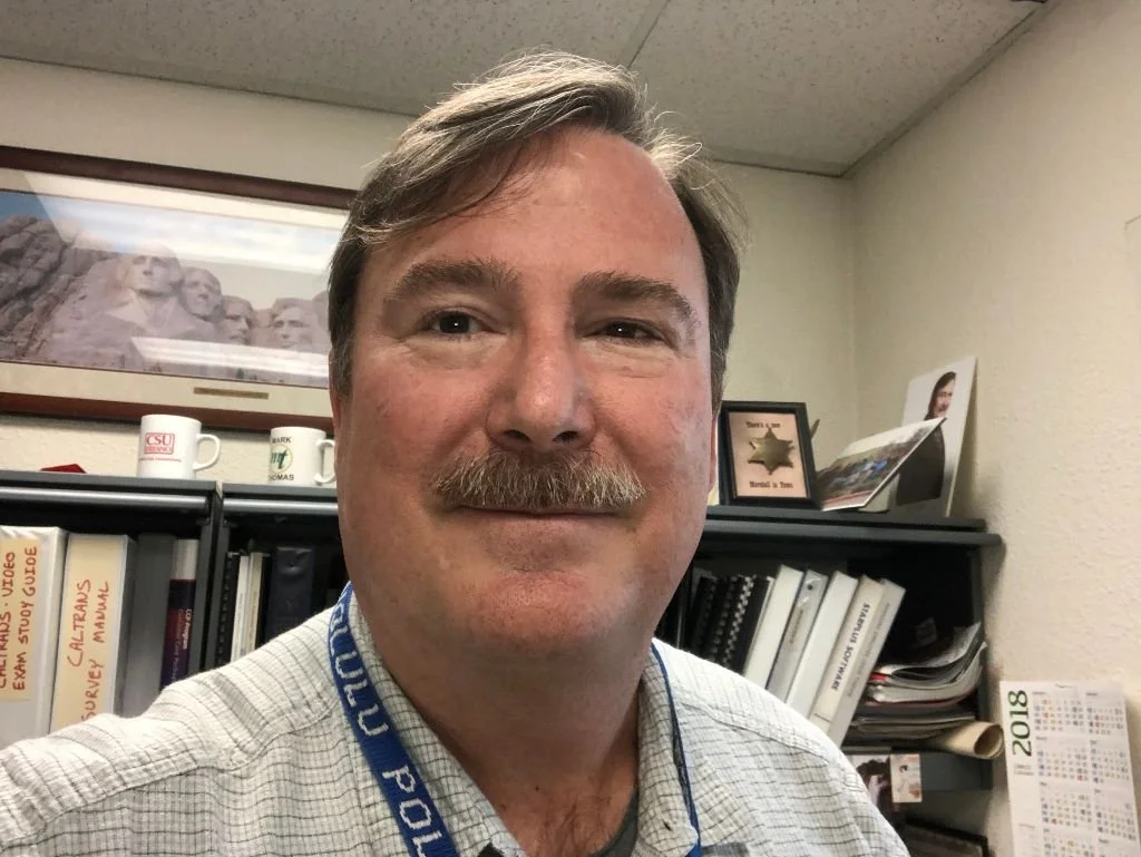
Steven J. Martin retired in January 2021 as the top Land Surveyor for the East Bay Municipal Utility District, headquartered in Oakland California. He began his survey career in 1988 while employed by the City of San Diego as the 4th man on a Survey crew, a position called “Engineer Trainee”. In less than 2 years with an LSIT certificate in hand, he took a promotion with the County of San Diego, where he worked in increasingly responsible roles for the next 17 ½ years.
He has been an active member of the California Land Surveyors Association since 1990 including 15 years on the Board of Directors.
Since retirement, he has volunteered in the NGS GPS on Benchmarks Transformation Tool campaign, taught an on-line GNSS course at College of the Canyons, and currently works part-time for Mark Thomas.
Armand Marois, PLS
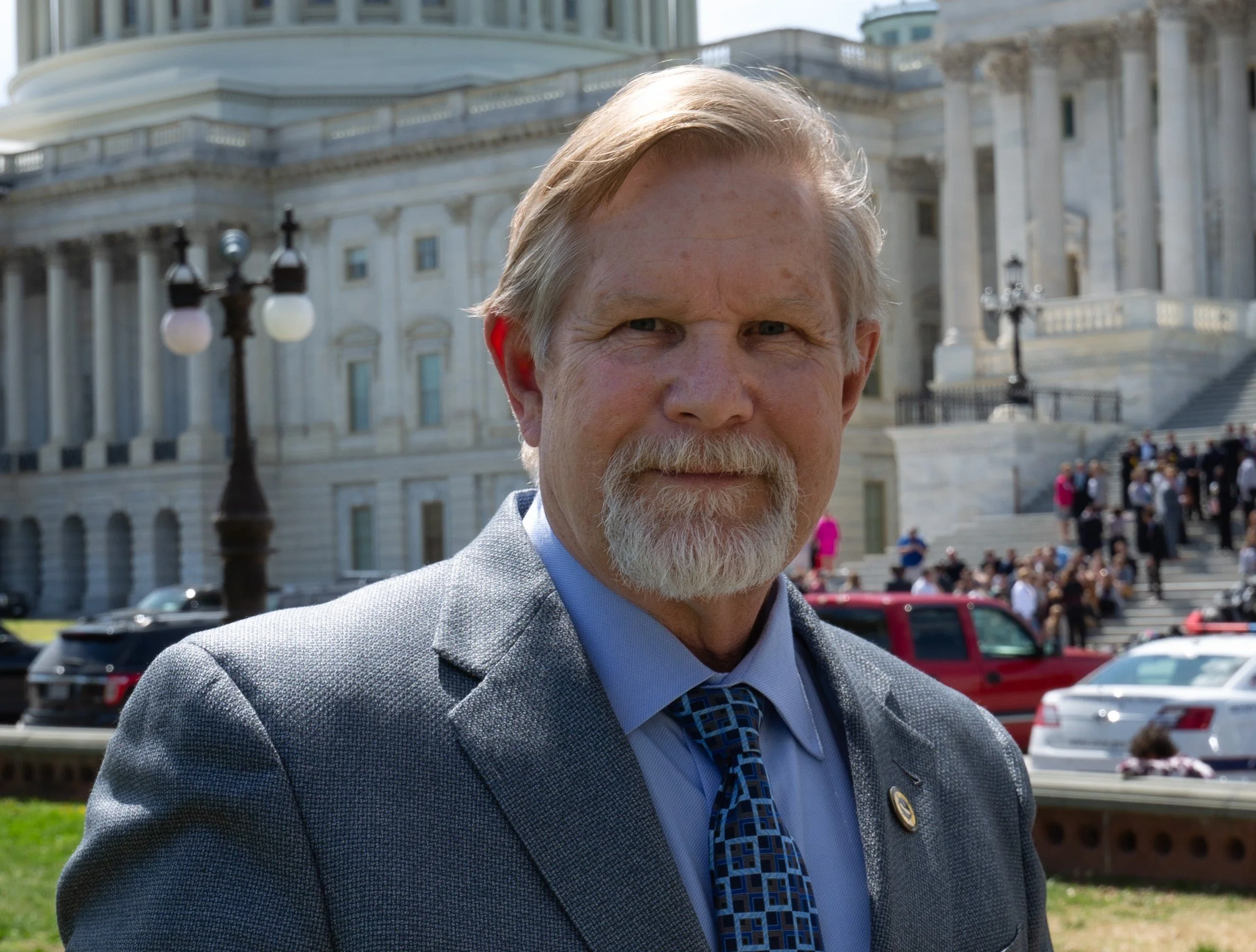
Mr. Marois has been employed by BHA Inc. in Carlsbad since 1985. He is the company’s Principal Surveyor overseeing surveying and mapping projects. In the past he has served as the President of CLSA, CLSA Education Foundation Chairman, NSPS Governor for California and Director-at-Large for NSPS, currently he serves as a trustee on the NSPS Foundation and NSPS Director for California. Mr. Marois has been a member of CLSA since 1988 and is licensed in California and Arizona.
Chris Shoup, PLS
Biography in process.
Geoffrey Cox, PLS
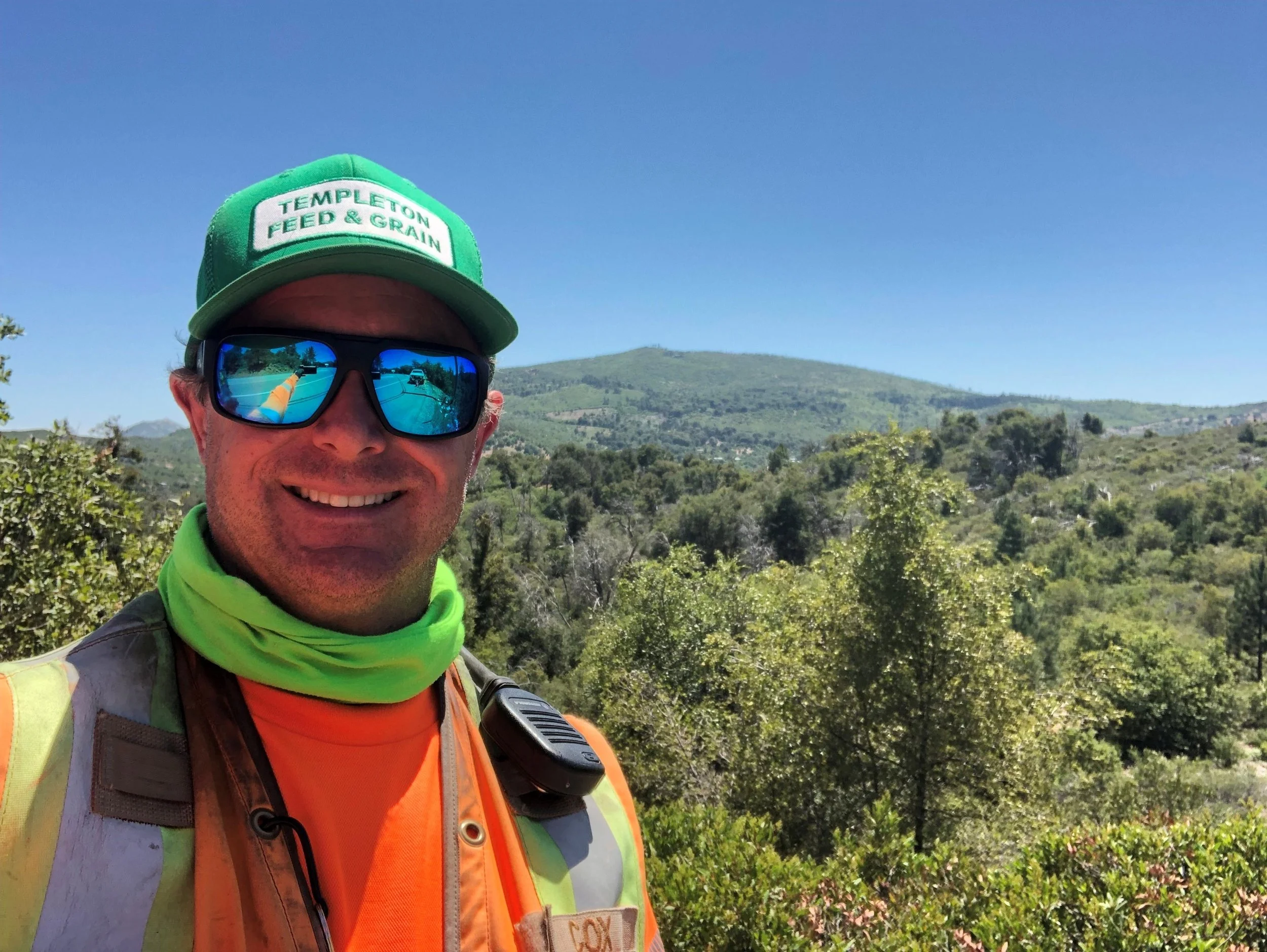
Geoffrey earned his professional land surveying license in May 2026 and works as a Right of Way Engineer at Caltrans-District 11, proudly serving the San Diego region where he first launched his career as a student assistant. He brings over 14 years of diverse public and private sector surveying experience across California’s varied landscapes, spanning from the southern border to Yosemite, and from the deserts to the Pacific Coast. A U.S. Marine Corps veteran, Geoffrey met his wife, Jenny, while serving; they have been married for 22 years and share two teenage sons and four dogs. In his free time, he is active in his church and community, and enjoys snowboarding, outdoor cooking, and cheering on the USMNT, San Diego FC, the Padres, and the Denver Broncos. Looking ahead, Geoffrey looks forward to continuing to serve the Lord and giving back the profession that has given him so much.
Tim Ralls, LSIT
Tim Ralls is the Coordinator for the Southern California Surveyors Joint Apprenticeship Committee (SCSJAC) and a member of IUOE Local 12. As a fifth-generation land surveyor with roughly 15 years of experience in the field, he brings practical industry knowledge and a strong background in workforce education, instructional design, and organizational leadership to apprenticeship development.
Tim holds multiple degrees in surveying, a degree in behavioral studies, a bachelor’s degree in workforce education and development, a master’s degree in occupational learning and instructional design, and a master’s degree in business administration. He also holds an LSIT designation and a drone pilot license. Tim is currently preparing for the Professional Surveyor examination as he pursues professional licensure.
His work focuses on preparing apprentices for the technical, professional, and field responsibilities required in today’s surveying industry. He supports classroom instruction, field-based learning, mentorship, curriculum development, and the integration of emerging technologies, including GNSS, unmanned aerial systems, LiDAR, laser scanning, GIS, machine control, and artificial intelligence.
Tim is committed to strengthening the surveying profession by connecting education with real-world field practice and innovation, supporting career advancement, and helping apprentices develop the knowledge, adaptability, judgment, and leadership skills needed to succeed in a changing workforce.
Garrett Smith, PLS
With 16 years of surveying experience, Garrett brings a diverse background in private-sector surveying and public-sector Right of Way management. His experience includes boundary and topographic surveys, ALTA/NSPS surveys, construction and infrastructure layout, aerial panel layout, engineering plan review, and field preparation.
For the past 10 years, he has served with the City of San Diego’s Survey Division and Right of Way Department, where he currently supervises Right of Way activities for the Engineering and Capital Projects Division. In this role, he oversees and tracks more than 1.5 million linear feet of Right of Way within the City; prepares plats and legal descriptions for land transfers and easements; reviews title documents and consultant survey deliverables; and provides Right of Way and boundary analyses to City engineering and real estate teams.
His project experience includes major energy and infrastructure projects such as the Tehachapi Renewable Transmission Project, Mojave Solar Project, East County Substation Project, and SDG&E undergrounding projects throughout the City of San Diego.
Annie Aguilar, RCE
Annie Aguilar, P.E., is President and Principal Engineer of San Dieguito Engineering, Inc. (SDE), a woman-owned civil engineering, land surveying, and planning firm founded in 1974. Throughout her career, Annie has worked at the intersection of civil engineering and land surveying, developing a deep appreciation for the technical expertise, judgment, and responsibility that define the surveying profession.
Annie’s connection to surveying began during her service in the U.S. Peace Corps from 1995 to 1997, where she worked as a Water and Sanitation Engineer designing water systems for rural communities in Honduras. Working with topographic surveys prepared by engineers and surveyors for Save the Children sparked her interest in surveying and its critical role in successful engineering design.
After returning to the United States, Annie joined Martin & Martin in 1997 and transitioned from structural engineering into civil engineering in 1998. There, she had the opportunity to learn land surveying from Andrew Zimniak, PLS. Her experience included downloading field survey points and creating digital terrain models, calculating earthwork quantities, preparing grading plans, plats and legal descriptions, and working on Parcel Maps and Final Maps.
In 2000, Annie joined SDE as a Project Engineer and spent her first three months working in the Survey Department with Gordon McElroy, PLS. That experience further shaped her understanding of the relationship between field surveying, mapping, boundary information, and civil engineering design.
Annie became a Principal of SDE in 2006 and was named President in 2012. Over the years, she has worked alongside many talented engineers and surveyors and has been fortunate to learn from some of the region’s most respected professionals. In particular, her years working closely with Andy Karydes, PLS, provided invaluable experience in boundary resolution, construction staking, hand shot topographic mapping, survey and engineering coordination, contract scope, and project management.
Today, Annie continues to work closely with SDE’s Senior Surveyors while leading the firm’s civil engineering practice. SDE provides civil engineering, land surveying, subsurface utility engineering, planning, and construction staking services for private development and public agencies throughout Southern California.
In 2025, after years of working alongside and learning from professional land surveyors, Annie made the decision to pursue her own Professional Land Surveyor license. She readily acknowledges that becoming a surveyor is a lifelong pursuit and that there is always more to learn. However, studying for the PLS examinations has given her an even greater appreciation for the depth of knowledge, technical rigor, and professional responsibility required of a land surveyor.
Annie’s journey from structural engineering, to civil engineering, to working alongside surveyors—and now pursuing her own PLS license—has given her a unique perspective on the relationship between the two professions. She brings that perspective, along with more than 30 years of engineering experience, to her work and to her conversations with the surveying community.
Drew Schwandt
Biography in progress.